Demo · City of Jersey City data
What do you want to know about Jersey City?
Ask in plain language: the assistant searches the City's 76 datasets, maps and documents, does the maths and cites its sources. Or search the catalogue directly.
Your questions are sent to Anthropic (Claude) to generate the answer: don’t type any personal data.
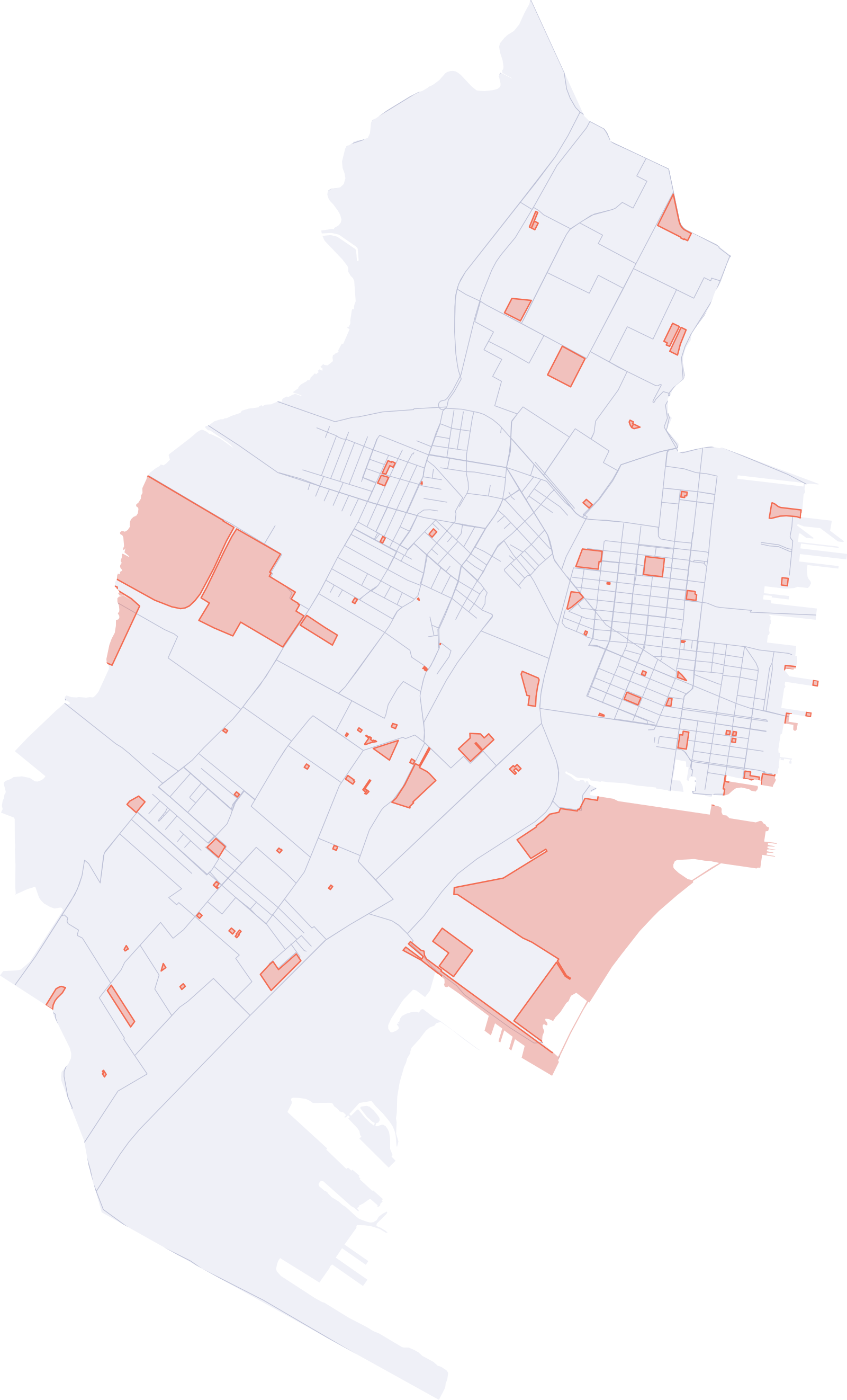
Background drawn from the catalogue: Census Tracts 2018 - Block and Tract and Parking Zones in grey and, in coral, Jersey City Parks
Featured
A few things that were hard to find before.
ArcGIS map layers
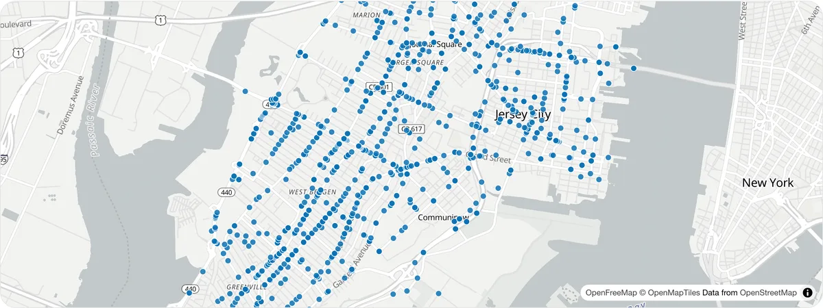
Crash data
Crash layers from the City's GIS on ArcGIS Online — searchable here and drawn on a map.
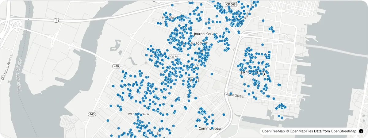
Table + map
Rent-controlled properties
Properties listed on the City's rent control site, with units, block and lot, as a table and a map.
Documents
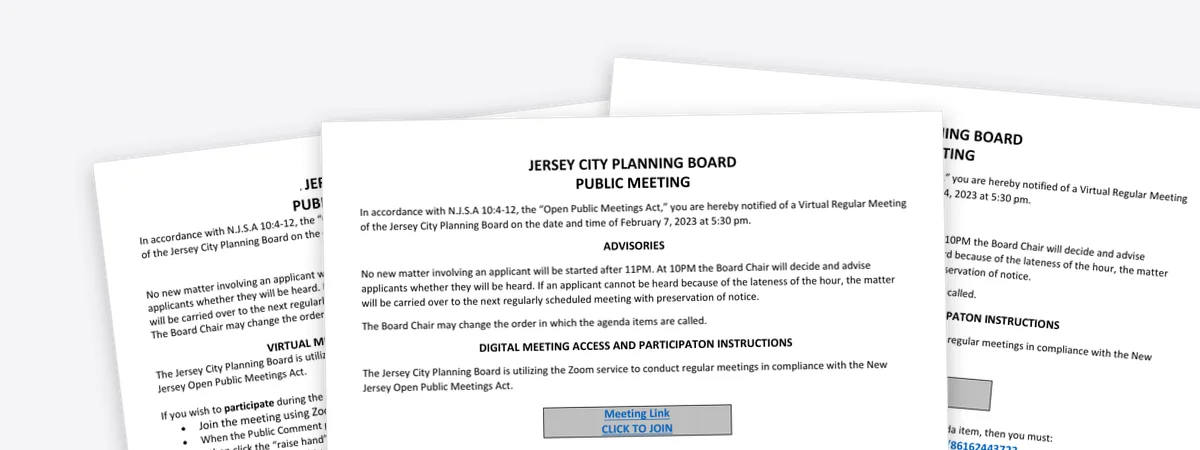
Planning Board documents
Planning Board documents from the City's open data portal, in one place.
Dashboard
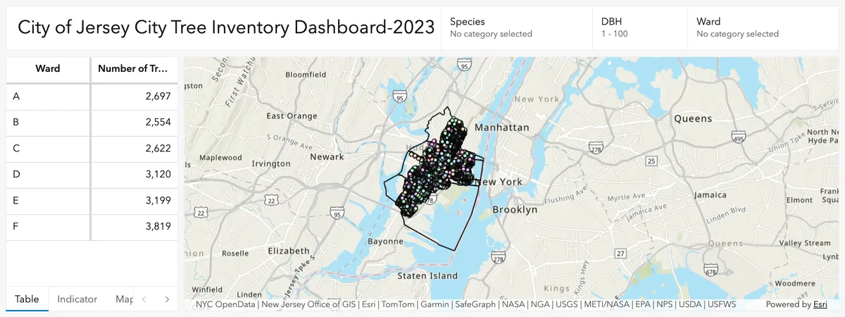
Tree Inventory dashboard
The City's tree inventory as an interactive ArcGIS dashboard.
Topics
The themes used on the City's open data portal, applied to ArcGIS content too.
Dashboards
Built on the catalogue's data, each listing the datasets behind it.
Road safety (Vision Zero)
Fatal and serious-injury crashes in Jersey City, 2021 to 2025, from the City's Vision Zero crash layers on ArcGIS Online.
Fire Department calls for service
What type of calls the Fire Department receives, which battalions respond and how many units, week by week. The data covers 2019 to the first weeks of 2023.
27 datasets with map data, ready to download
Eight of them, drawn from their own data. Each opens its page: map, table, downloads and API.
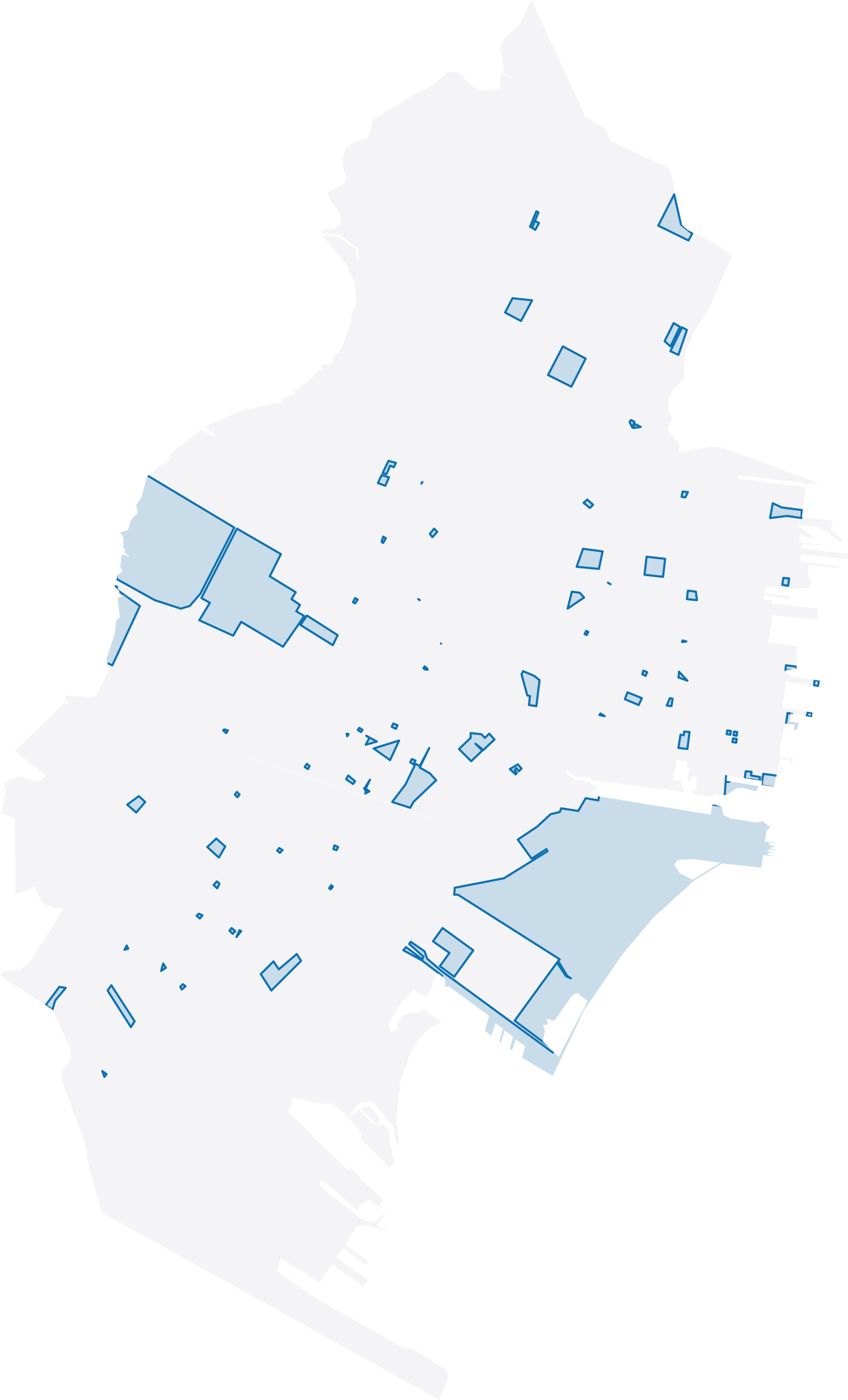
Jersey City Parks
86 features · Dec 12, 2018
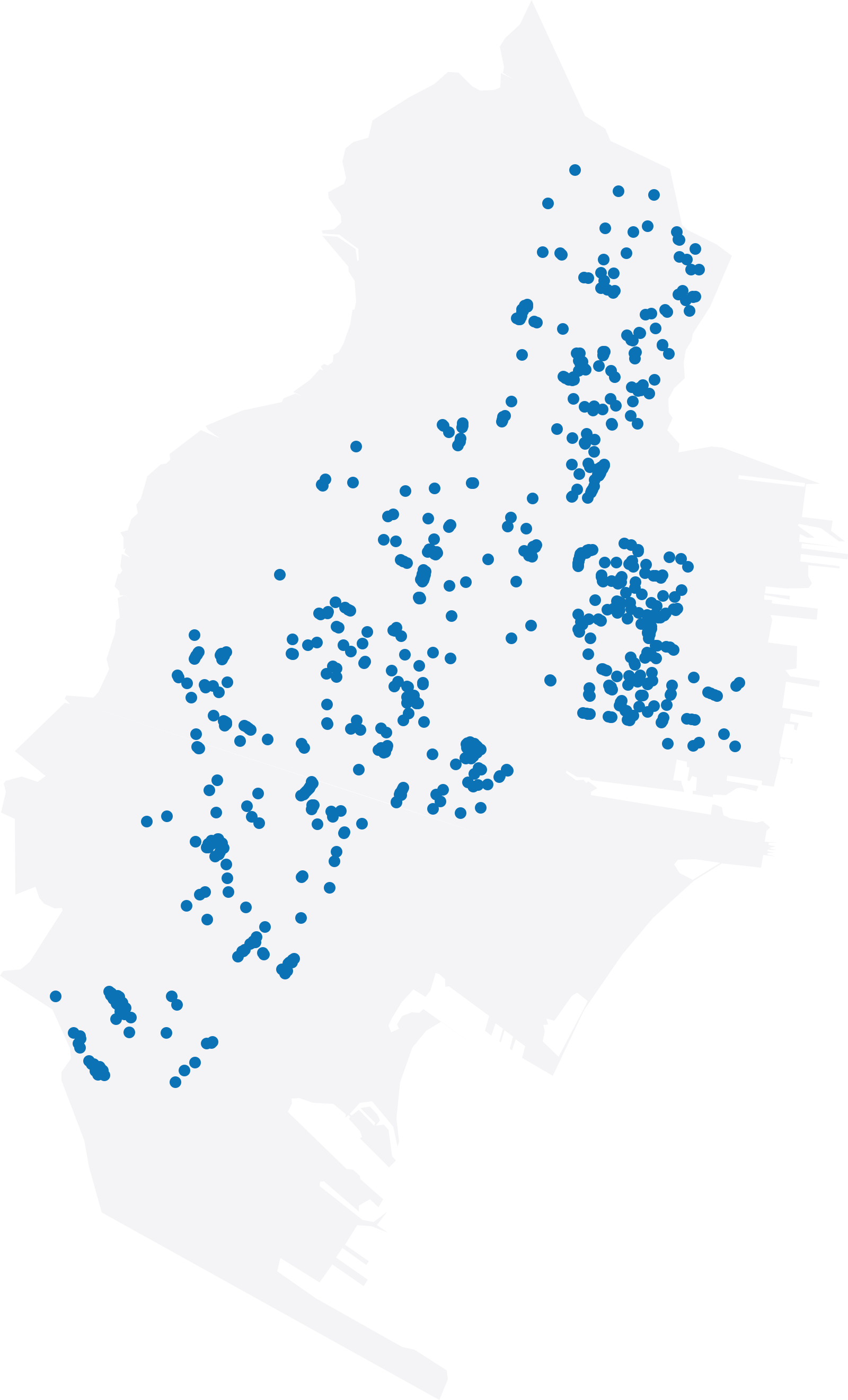
Tree Planting Locations
786 features · Mar 3, 2021
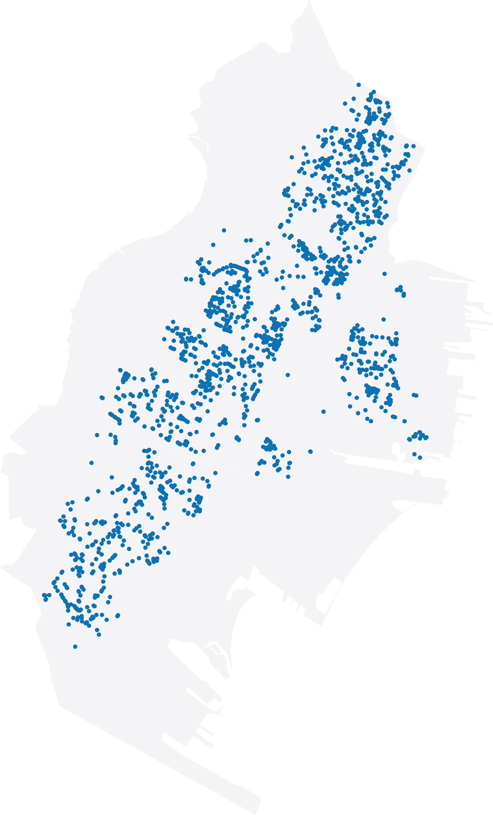
Rent-controlled properties
1,732 features · Aug 3, 2026
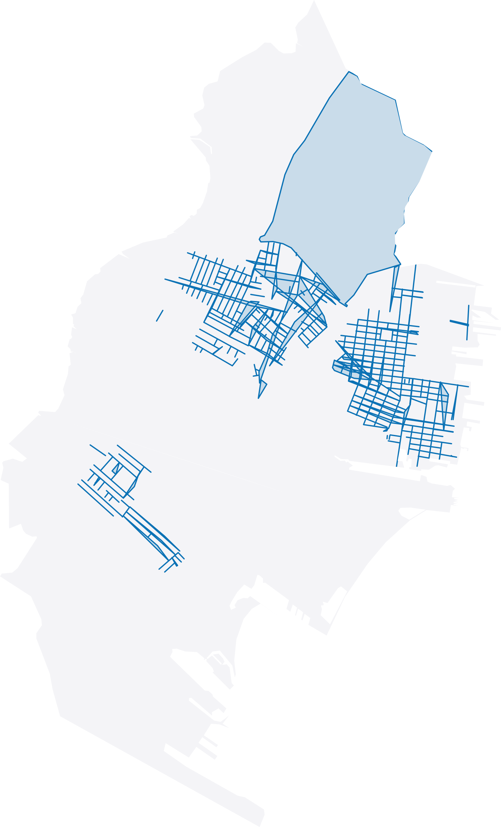
Parking Zones
258 features · Nov 9, 2020
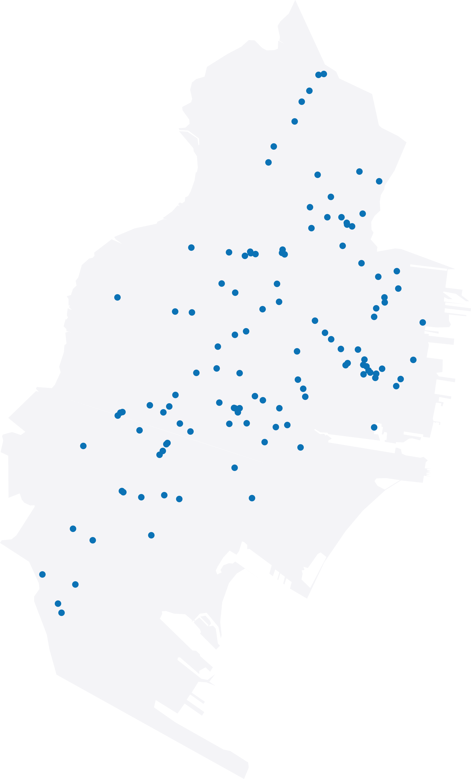
Jersey City Mural Map & List
151 features · Jan 6, 2021
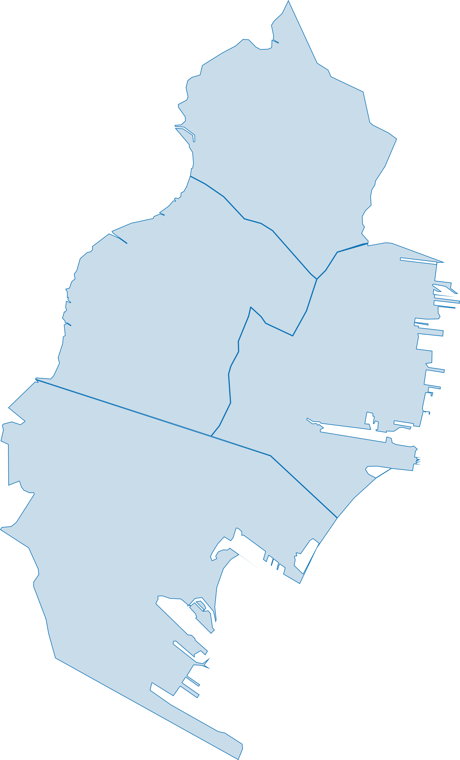
Police Districts
4 features · Sep 28, 2018
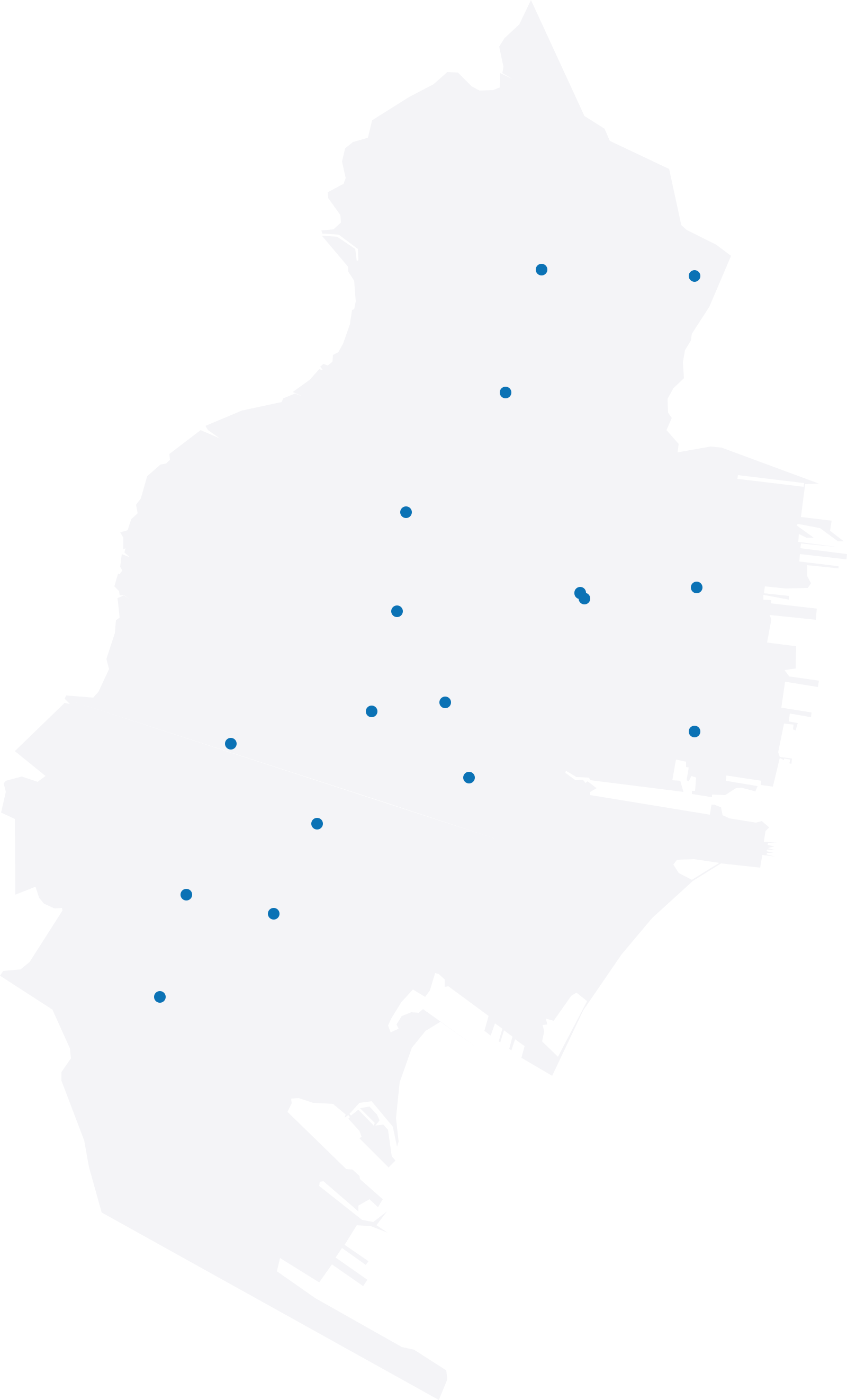
Fire House Addresses
34 features · Dec 12, 2018
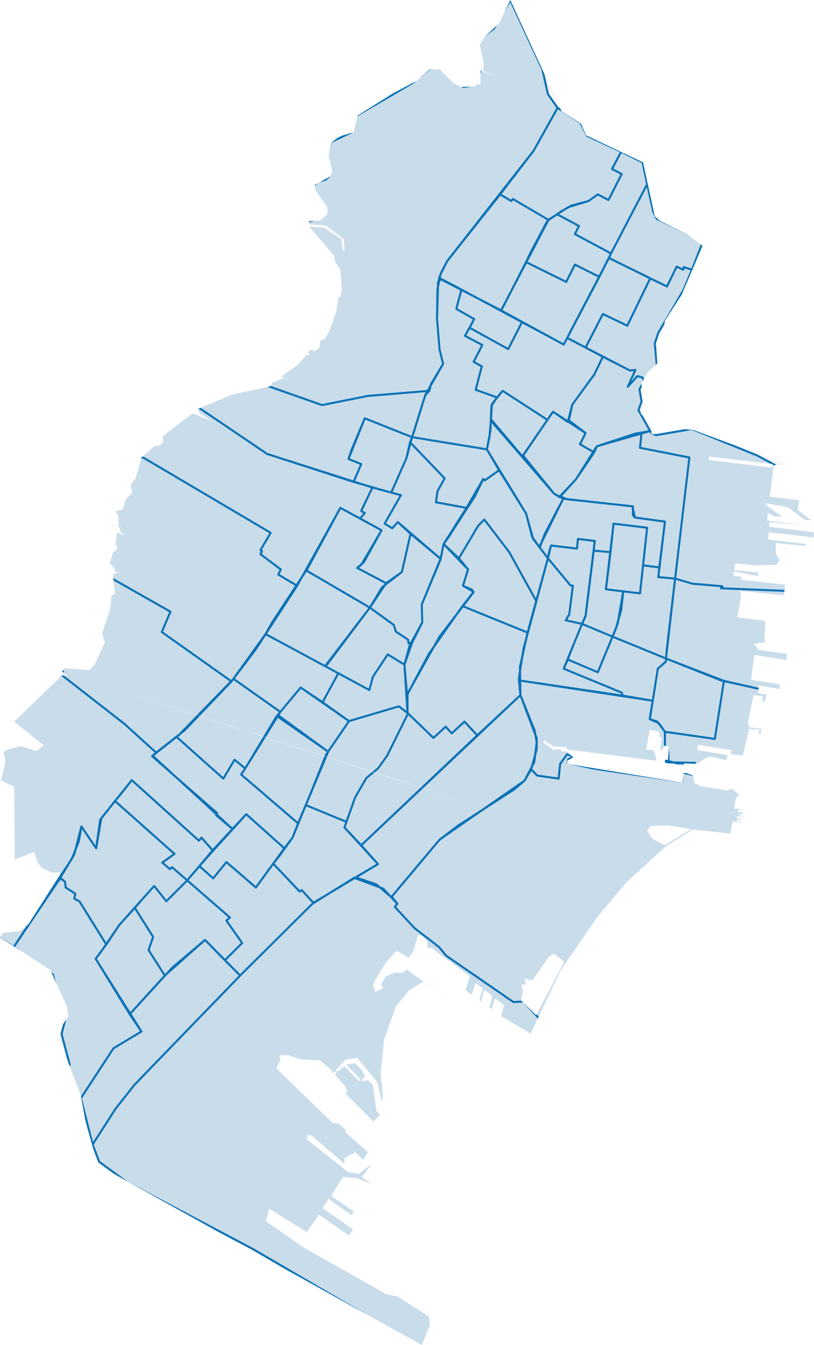
Census Tracts 2018 - Block and Tract
67 features · Mar 28, 2019
Recently updated
By the date the source last changed.
Fire Department Calls 2019 - 2023
Fire Department Service Calls since 2019 This dashboard is updated weekly
Rent-controlled properties
Properties that Jersey City's Office of Landlord/Tenant Relations presumes to be subject to rent control, as published on the Rent Control Property Map…
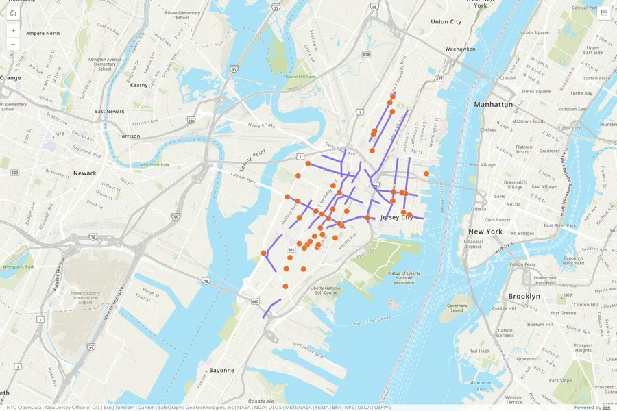
Vision Zero Map

Fatal Crashes (2021-2025)
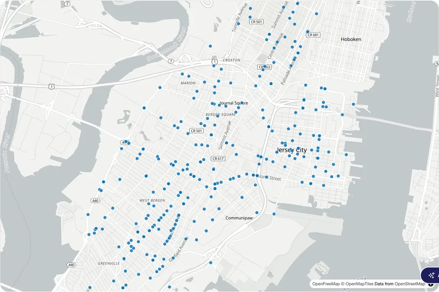
Serious Injury Crashes (2021-2025)

2025 Mid-Year Progress Report
This is the 2025 Vision Zero JC Mid-Year Progress Report highlighting complete streets projects and initiatives.
Browse by department
Datasets grouped by the department that publishes them.
- City of Jersey City GIS (ArcGIS Online)9 datasets
- City of Jersey City (publisher not stated)4 datasets
- Historic Preservation Commission4 datasets
- Division of City Planning3 datasets
- Budgets2 datasets
- Department of Public Works2 datasets
- Division of Engineering, Traffic & Transportation2 datasets
- Division of Sanitation2 datasets
- Fire Department2 datasets
- Housing, Economic Dev. & Commerce2 datasets