Dashboards
Charts, maps and dashboards about Jersey City in one list: the ones built on this portal, which read their data from the catalogue, and the ones the City publishes on Tableau, CARTO and ArcGIS.
Built on this portal (2)
Each one reads its data from this catalogue and lists the datasets behind it, with their update dates. In the full service they are rebuilt from the catalogue every night.
Road safety (Vision Zero)
Fatal and serious-injury crashes in Jersey City, 2021 to 2025, from the City's Vision Zero crash layers on ArcGIS Online.
Data: Fatal Crashes (2021-2025), Serious Injury Crashes (2021-2025) · Updated May 3, 2026
Fire Department calls for service
What type of calls the Fire Department receives, which battalions respond and how many units, week by week. The data covers 2019 to the first weeks of 2023.
Data: Fire Department Calls 2019 - 2023, Fire Battalions, Fire House Addresses · Updated Oct 20, 2026
The City's dashboards on other sites (13)
The dashboards listed on the City's current portal. They stay where they are. The ones that were map views of a dataset open that dataset here; links that no longer work point to the newest version or are left out.
COVID-19 Data Dashboard for Jersey City
Count of COVID-19 cases and fatalities related to it in Jersey City. Stats aggregated by Gender and age group. Testing counts and hospital stats
Jersey City: Demographic Profile
Jersey City's Demographic Profile
Composting dashboard
Jersey City launched its first-ever composting efforts in 2018 with a Residential Compost Drop-Off Program and a Backyard Composting Program.
Via Usage in Jersey City
Via Usage in Jersey City
Jersey City Resurfacing 2008-2023
Miles of streets resurfaced each year
Budget Dashboard
City of Jersey City's Budget appropriations and revenues from 2011 to current
Electric Vehicles - Data Dashboard
Stats for the City's Car sharing program
Food Trucks Map
Locations for Food Trucks in Downtown Jersey City
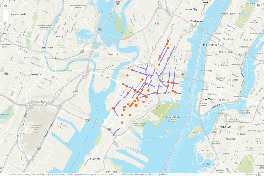
Pedestrian Safety Elements Map
Depicts traffic safety elements that the Division of Engineering, Traffic & Transportation has installed.
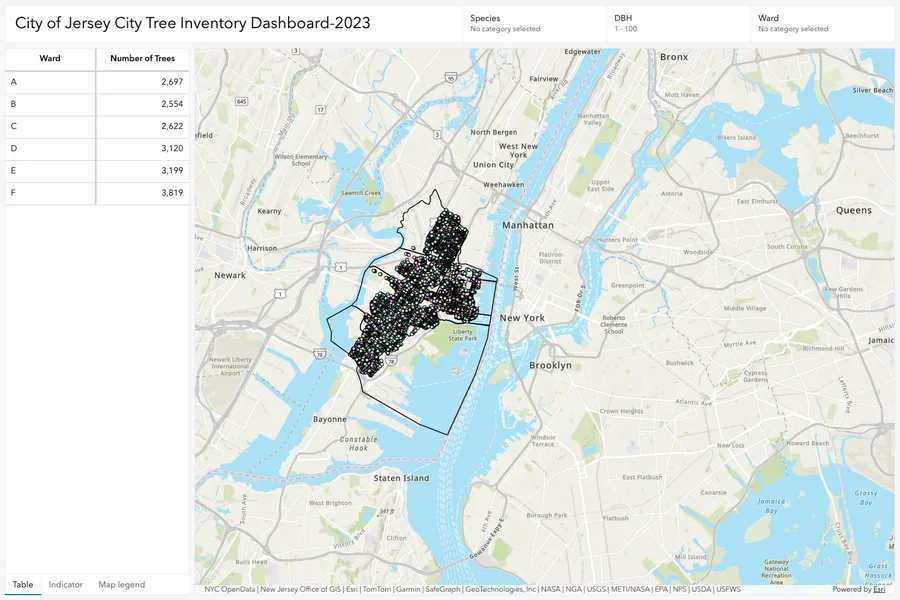
Jersey City Tree Canopy
Trees mapped in Jersey City
Murals in Jersey City
Map of all the murals in Jersey City
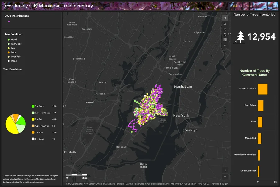
Tree Planting in Jersey City
Location and count of trees planted by season
Parking zones in Jersey City
Boundaries of Parking zones in Jersey City
Maps and apps on ArcGIS (3)
Finished maps, dashboards, story maps and apps the City publishes on ArcGIS Online. They stay on ArcGIS; this catalogue makes them findable.
Project sites (2)
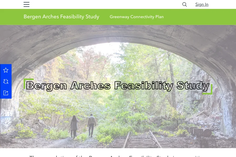
Bergen Arches Feasibility Study
An ArcGIS Hub site used by the planning agency to promote transportation alternatives within the community.
JC on the Move
Through this study Jersey City will identify and recommend a series of flexible and dynamic transportation options that aim to improve connections, fill service gaps and…